Great American Writers

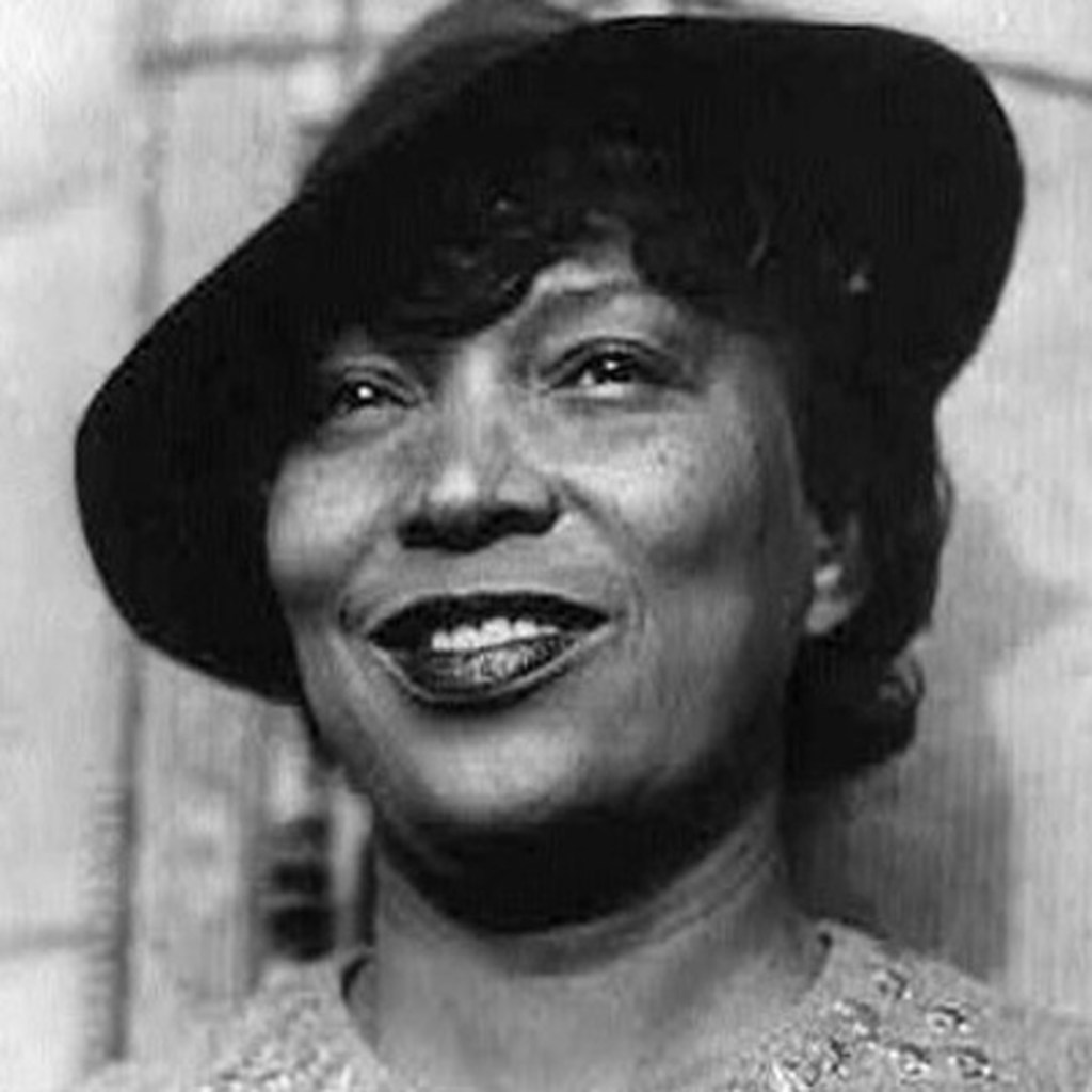
Zora Neale Hurston

Sunday, July 19, 2020

Yesterday, I took my Border Collie, Miles, to the veterinarian. These days, they’re doing “curbside receiving”, a slow process, so I grabbed from my stack of waiting readables a book to crack while waiting in the car. The title happened to be, “Their Eyes Were Watching God”, by Zora Neale Hurston. She wrote this novel in 1937, during years known as the period of “Harlem Renaissance”.

That period is known, too, as the “great migration”, when blacks were leaving the South to escape a restrictive and brutal world of Jim Crow. They moved en mass to northern cities that had manufacturing processes and were creating available work, and also, moved West to the Golden State.

Those were the times of Hurston, a wonderful writer. Others, too, wrote beautifully–like, Maya Angelou, James Baldwin, Ralph Ellison, Langston Hughes, and Richard Wright. My early interests in literature and psychology led me to the works of these authors. They impacted the worldview of this Oklahoma-raised, somewhat backward young girl.

All that flooded my mind while becoming reacquainted with Hurston’s talent and perceptiveness. In years past, I tried to read “Their Eyes Were Watching God” and failed, because she had written much of its dialogue in Southern uneducated dialect. In those days I couldn’t slow down to absorb what her characters were saying. Yesterday, was different, for I felt strongly her characters’ sensibilities and qualities, and even more appreciated Hurston.

I’m running out of time and will close here. After finishing this book, I’ll write more about it.

Dear Friends: I’ll horseback ride today, focused still on mapping and wanting more specifics. Diana
Mapping Challenges

Saturday, July 18, 2020

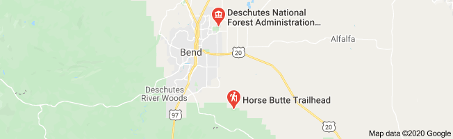
I know, it’s tiring to read again of the trials and tribulations in my mapping project at Horse Butte National Forest. Laying out a horse trail became a preoccupation, it repeatedly returned me to the forest with horses and dogs, and lately, has had me learning to use a cell phone program that can track a horse and map its route. By now, the trail-identifying and electronic mapping might be done, for my cell phone clearly shows a route that appears correct. It has points that ought to be superimposed onto a printed map of the Forest.

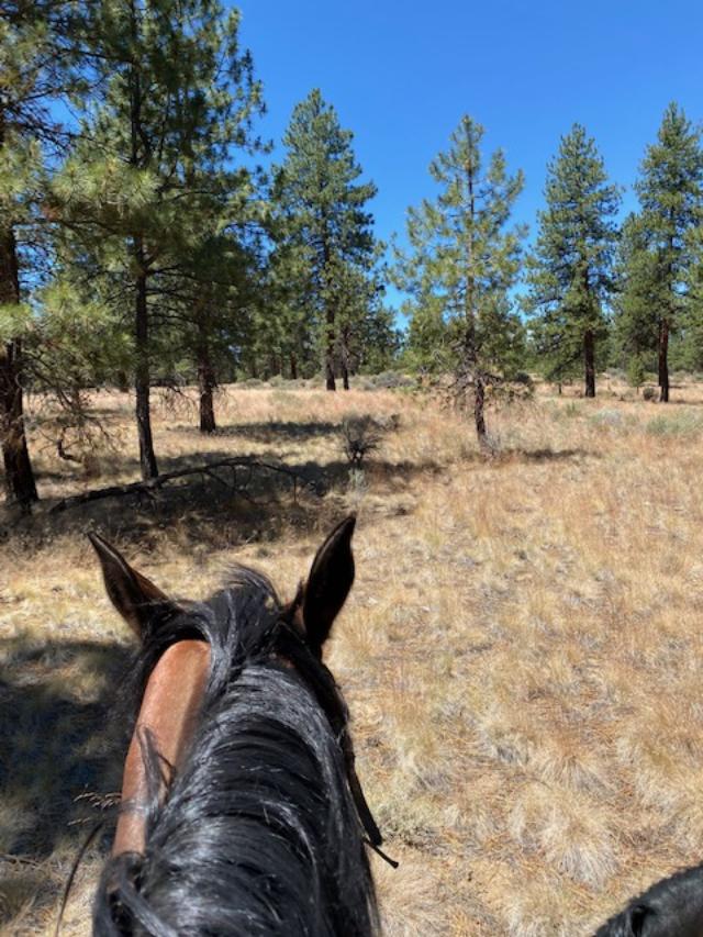
A really-good printed map of Horse Butte Forest is hard to find. Today’s header photo is an example, it shows little beyond an area title. I went searching for my old map collection, left untouched for years. It consists of maps from when I began riding horseback in Oregon and searched for identifiable safe trails in public lands. All my Central Oregon Public Lands maps show Horse Butte National Forest, briefly and as a truncated area. Another challenge is to superimpose my recorded trail points onto one of the area maps scarce of terrain details. But, it’ll be a start toward something-more, whatever that may be.

It’s how a step-by-step process of learning works, and the journey is long. This project like others, began with an idea of identifying a horse trail, and wishing for a hard-copy map of that trail. Between that beginning and an upcoming ending were many searches. I’ve sought appropriate terrains with existing trails, tried ways of recording points over a meandering five-miles, and finally, sought help to identify helpful electronic tools and understand their uses.

Gradually my little single-chapter impulse has become a Medusa-like project. It has forced new branches of planning and learning. The next step, of achieving some kind of hard-copy map, certainly will force new branches. It’ what learning is about…we take an idea, make one step, then find a reason to take another, and so on, until eventually, on reaching a logical conclusion we have acquired new knowledge.

Dear Friends: This day won’t include horseback riding, it’ll be of creating a hard-copy map. Diana

That Trail, Again

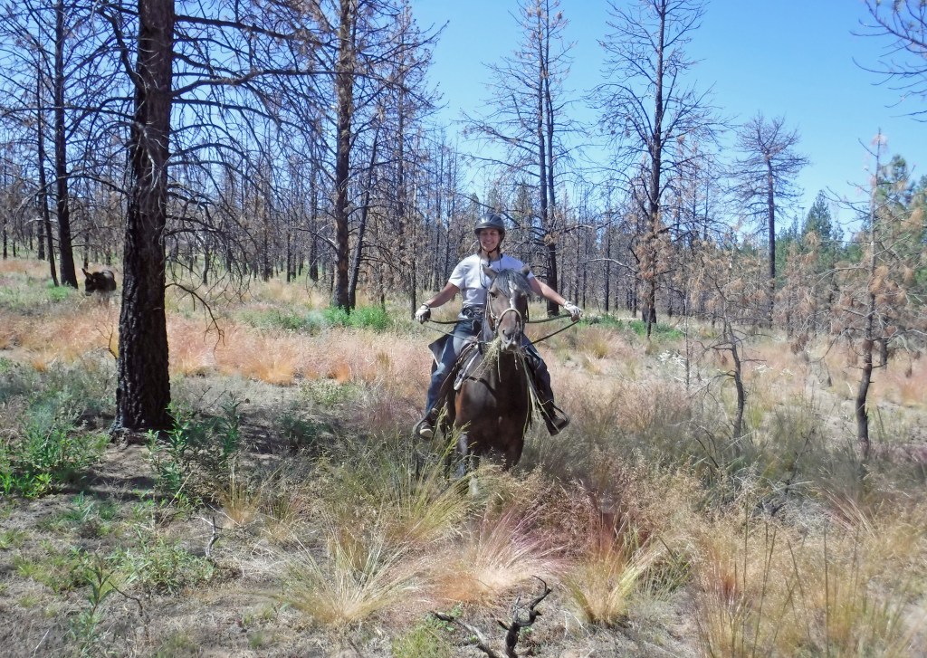
Rosie looking toward “Hunters’ Camp”

Friday, July 17, 2020

My map-reading friend, Susie, seemed a bit confused trying to interpret my cellphone map of a horseback travel through the “Blue Elderberry Trail”. I attempted to clarify locations of key features on the trail but some varied from her memories, herself having ridden that trail. Finally, we downed the last of our beers and decided to start over. We erased my map.

Tabula rasa, I’ll begin anew. I’ve memorized the trail and will ride again, but with the mapping program newly refreshed to “follow me”. I’ll stop exacement at key points to drop pins and name them. Susie tends to be a perfectionist about details and I’m more loose, but we both hope to wind up with a correct map. She, because she loves the outdoors and maps, and me, because I’m slightly nutty.

I hope to get this trail right before introducing it to my friends, the Gilberts. They ride horseback and have explored most of the area’s riding opportunities, have introduced me to riding trails that I’d otherwise never have discovered. In my heart, I think they’re likely to recognize much if not all of “Blue Elderberry Trail”. At the very least, their travels in that area this time will be unique from the company of Susie and me.

Yep, I’ve gone nutty about this mapping project. It might evolve in ways that are exciting.

Dear Friends: Gotta hustle, Mechanic Dale, after repairing Jeep, is en route to give me a lift. Diana

A “Blue Elderberry Trail”

Pimmy @ “The Greenery”

Thursday, July 16, 2020

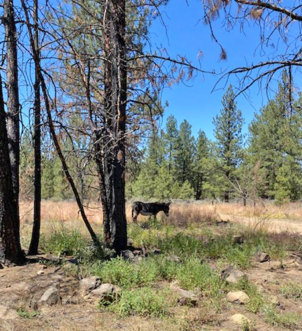
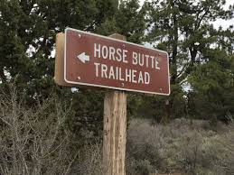
At last, I’ve managed to identify a complete horseback riding trail at Bend’s Horse Butte National Forest. I am naming this the “Blue Elderberry Trail”. It begins at the Horse Butte Trailhead and loops to pretty places before returning a rider to the Trailhead.

Some of “Blue Elderberry” long has been unused, neglected and obscure, difficult to locate. I’ve repeatedly ridden over the same trails and searching for connections between paths. Recently, I’ve become armed with information and training from map-savvy friends and have begun using an electronic map on my cellphone. This has made it possible in the large outdoors to navigate more sensibly, and also, to record the locations of significant trail spots. Finally, and happily from my perspective, “Blue Elderberry” has been mapped.

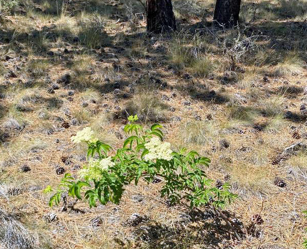
The five mile loop is a two-hour ride that features four key points: (1) “The Greenery”, a natural almost-wetlands area that’s healthy and well-flowered; (2) a hunter’s campground from which runs an interesting hand-constructed trail; (3) a blooming wild Blue Elderberry shrub, strikingly beautiful, and (4) a large lava outcropping, grassy and flowered, over which a pretty trail crosses.

Next will be to work at creating a hard-copy map of “The Blue Elderberry Trail”, that hopefully also could be printable.

Dear Friends: New learnings, although maybe-difficult to absorb, always offer rewards. Diana

Winding Down

Wednesday, July 15, 2020

I stayed up late to watch the final episodes of “Ruyi’s Royal Love in the Palace”, streaming on Hulu. Holding on until its final episodes took dedication as it has a total of 81. I stayed awake long enough to be short its ending by only a couple of episodes. Now, I’m sensing that the likely ending to Ruyi’s story isn’t as I had hoped.

I’ve had to remember that Ruyi’s story takes place from about 1735 to 1755. It follows a young Emperor from the time of his ascension to power and his choice of a long-time, true love to be his Empress. Theirs is a marriage made complex by his having a harem, and the empire’s need for potential heirs. That was in a time that children (and adults) often died young. In the story and for many years, the Emperor and his Empress held onto their closeness and maintained mutual trust.

Of course, everybody understands that total power can corrupt totally. The series highlights this happening in the Emperor’s role and among his most-highly ranking women. Through it all, Ruyi manages to stand out as an intelligent, insightful, and tolerant partner to the Emperor. She successfully reigns for years but gradually ages and falls victim to young challengers among the harem. Conversely, the Emperor never loses his powerful position.

Watching the Emperor relate to those around him, how he decides national and personal issues, reminds me of today’s #metoo movement. Modern women recently have been able to speak about sexual transgressions against themselves. They’ve brought about the downfalls of wealthy, powerful men, like Harvey Weinstein, Jeffrey Epstein, and my once-favorite, Charlie Rose.

The Ruyi series, created by a different culture, at first seems almost deceptive. Starting off, its most compelling features (these don’t diminish throughout) are every scene’s visually balanced arrangements, their overall sheer beauty and array of colors. The acting is fine, particularly by Zhou Xun in the role of Ruyi. Throughout, is a fabulous soundtrack that I’d order in a heartbeat, but it doesn’t seem commercially available.

This evening, I’ll finish the series with a sense of loss, similar to my feelings at the endings of other great series, like The Sopranos, Breaking Bad, and Deadwood. Those series, and the Ruyi, have it all–complex scripts, great cinematography, fine acting, and both good and bad people. They transported we watchers into other worlds for long periods of time. We watchers experienced, felt, and learned.

Dear Friends: Throughout history, everything Chinese has amazed and been impressive. Diana

Mind vs. Map

Tuesday, July 14, 2020

Yesterday, an unexpected, needed repair in the horse loafing shed made me stay home. I didn’t have everything necessary complete the job, but now, there’s an improved shed condition and nothing will harm an equine.

That day off from riding allowed for more time to consider the horseback loop I’ve been trying to identify in the Horse Butte National Wilderness. Yesterday, I spent hours focused on my GPS and thinking about mapping technology. I searched for and found my old hard map collection, and searched for detailed routes in the Horse Butte area. There were none, so if I want routes, it’ll be up to me to create the details.

That reality sent me back to some map print-outs that my friend Susie provided several days previously. She and I had ridden horseback in the Forest, and during that ride, she had marked electronically our key stops. Later, she printed a satellite view of Horse Butte on which she drew our route. Her map is missing a small piece, a bit of my loop we “sort of lost” during our ride. After reviewing all her coordinates, Susie figured out where we could find the missing bit of trail. I returned another day to locate it but couldn’t without doing some bushwacking.

I’ve somehow become obsessed with wanting completely to identify a circular horse-trail. My goal is to ride from the trailhead toward a butte, going over it to a trail that passes a particular shrub, leading to a hunters’ campground, and then toward “The Greenery”. My hope is to return to the trailhead via a different route, and thus, my ride will be a pretty loop, from and to the trailhead.

Yesterday, after staring at commercial maps and still unable to fill in trail blanks, I turned to Susie’s printouts and stared at her overlay that shows points on our route. There was my loop! It’s plain and clear, that I’d earlier been unable to see.

Who understands the obscure mind tricks that can pin a brain to what it “wants to see”?

Well, thank you again, Susie. I’ll be on horseback today and will clarify that obscure trail section.

Incidentally, on her map, Susie managed to identify a very old and faint trail that meanders through “The Greenery”, an area pretty and interesting. Perhaps, it’ll be possible in time to add that long unused trail to my loop.

Dear Friends: A good thing about my OCD, it’s keeping equines and dogs in fine condition. Diana

Riding With Judy

Monday, July 13, 2020

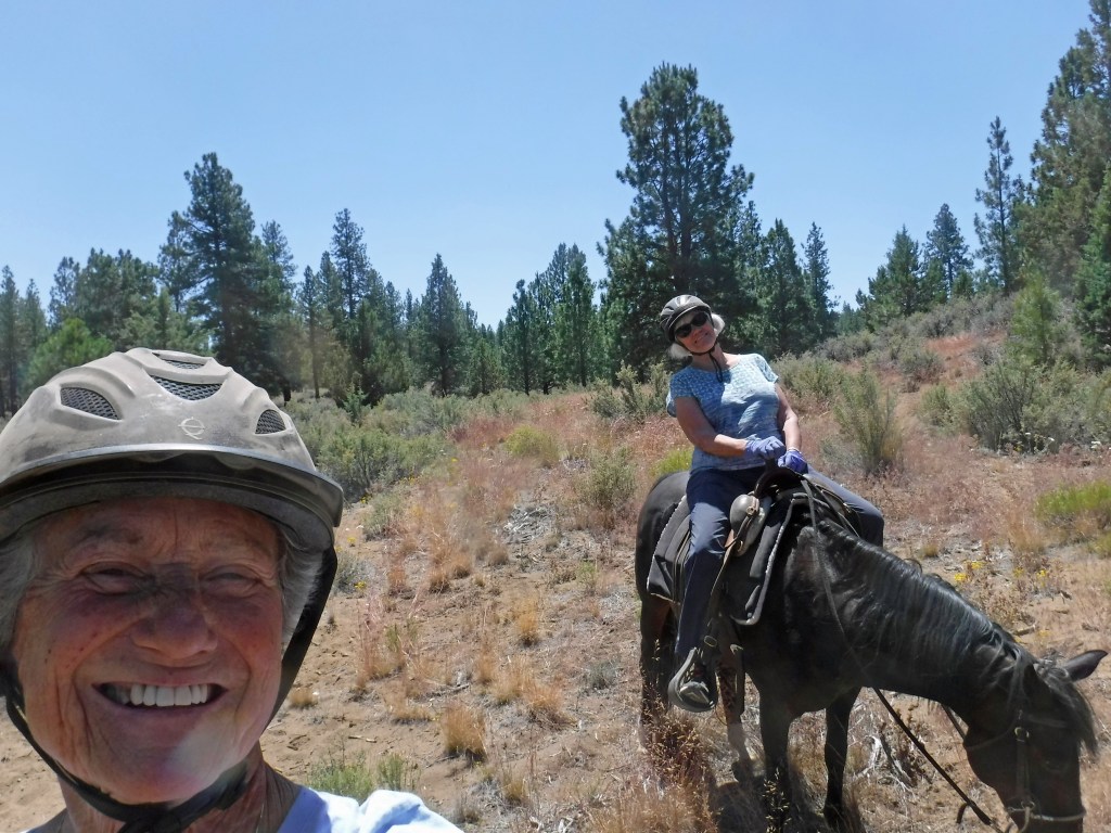
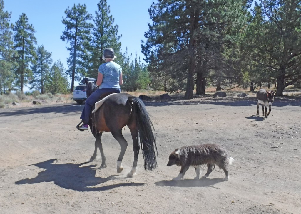
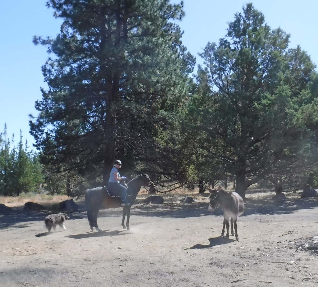
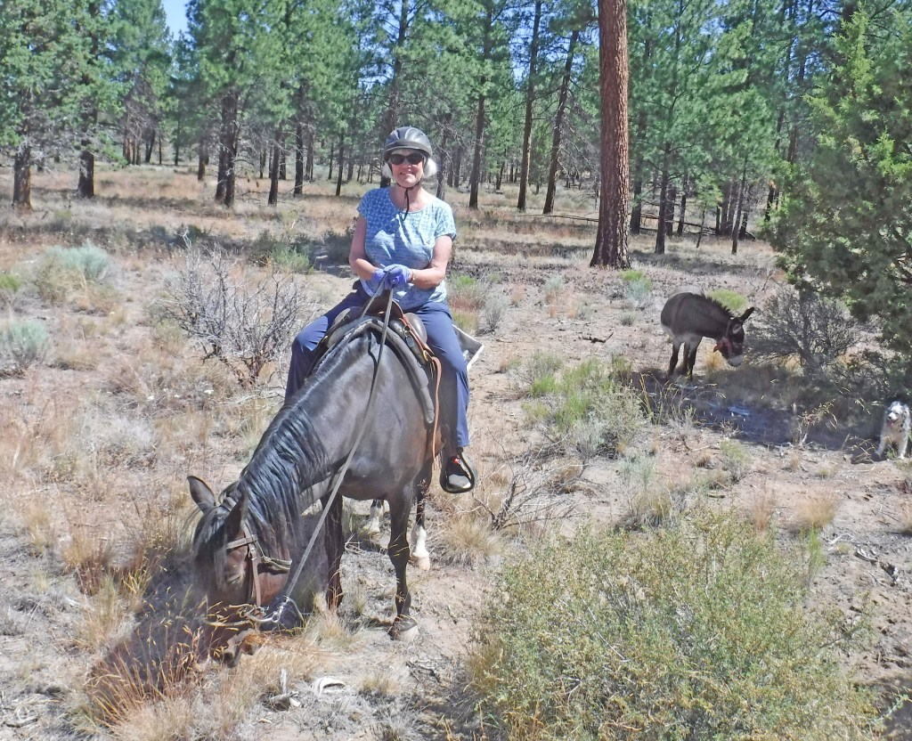
Judy and I have known each other for several years and in a very-nonathletic setting. Recently, after she’d not been on a horse in years, we linked-up and rode together at Bend’s Horse Butte National Forest. Judy was on Sunni, I on Rosie, followed by Pimmy Donkey and three happy trail dogs. We were about to test a several-miles horseback loop that for weeks I’d been trying to identify.

Sunni is easy to get along with and Judy quickly rediscovered her “saddle seat”.

Judy, Sunni, Miles, & Pimmy
Ready to leave the trailhead

We had partial success in locating the entire trail. Parts of the desired-loop are very dim after long periods of disuse. Several times, we found ourselves having to bushwack in searching for paths of the riding loop. The horses willingly took us into nooks and crannies among large rock outcroppings. Judy, bravely and uncomplaining, “was in” throughout.

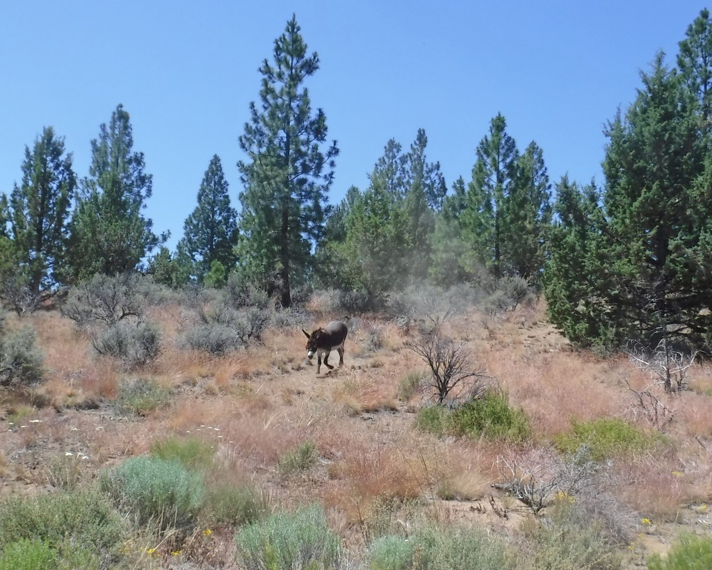
This ride occurred after an earlier one in which Donkey Pimmy suddenly had disappeared. This donkey always follows her horses but tends to lag behind. In that “disappearing event”, which almost gave me a stroke, Pimmy was following far behind. While she was beyond my sight, a Forest Ranger caught and “rescued” Pimmy. Luckily and helped by friends, Julie and Dave, Pimmy quickly was returned.

During our ride, Judy and I were careful to make sure we never lost sight of the donkey.

As we rambled in searches for trail paths, Judy told me about her husband, Greg. She said he’s a whiz with a GPS, that he studies the layouts of potential hiking terrains, tracks the routes of his hiking journeys, and never becomes lost. Following our ride, Judy made certain that Greg and I had an opportunity to meet. He’s exactly as she described, capable with electronics, and besides that, very patient and kind. Greg explained how electronics can help me define and map my desired horseback loop.

Dear Friends: Ferreting the goodnesses of electronics takes study, discipline, and practice. Diana

Wonderful Day

Ziva @ 9 months

Sunday, July 12, 2020

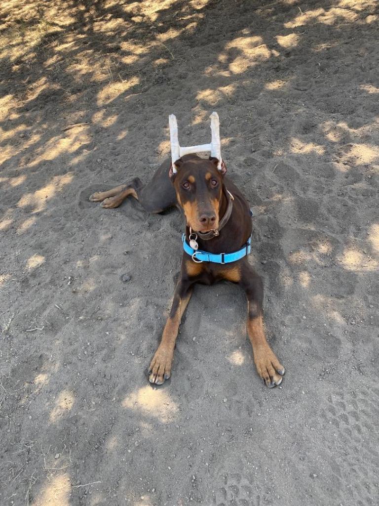
My friend, Buzz, and I met to catch up with each other’s recent doings. We wanted me to re-meet his puppy, Ziva. Many years ago, I had a red Dobie, loved and showed her competitively. I’ve an eye for the breed and Buzz’s Ziva is a knockout. He’s crazy about her.

We wandered through a nearby BLM with an irrigation canal running through and watched as Ziva tried estimating water-depths. She wanted to dive in but felt too timid. When next I meet Ziva, she’ll be responding wholeheartedly to water spots.

Coming home, I saw a text from my friend, Judy. She rode with me at Horse Butte and knew my struggles to define and perhaps map a scenic horse-trail route. Judy’s husband, Greg, a map and GPS whiz, was willing to teach me how to define my trail’s key points. Coincidentally, the evening before, Susie had prepped me on waypoints and mapping, and now, I had a keener ear for Greg’s explanations.

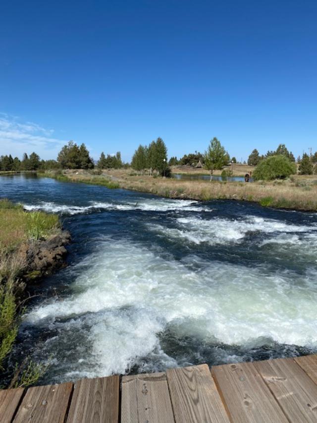
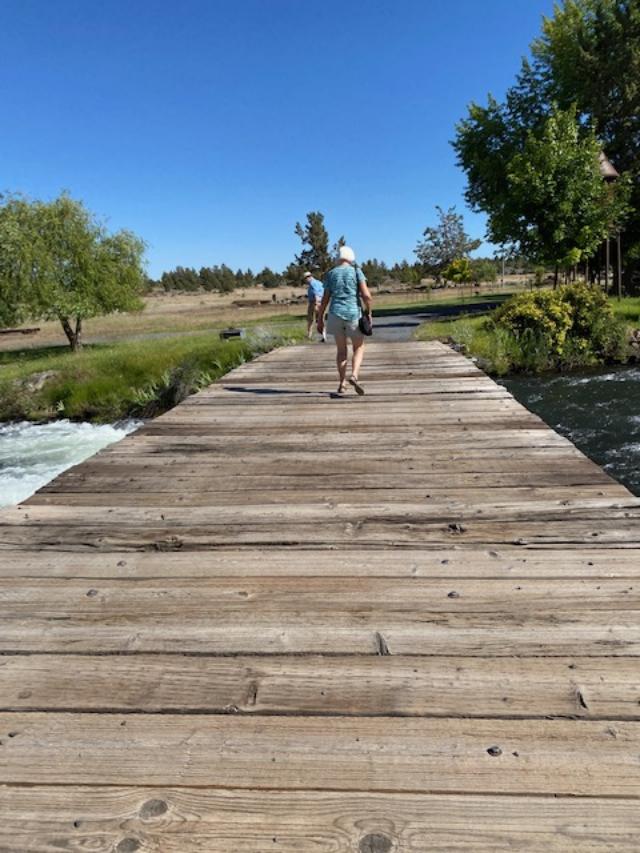
We decided to test Greg’s GPS by going to a nearby large canal. I’ve long wished for a way of crossing to its opposite side where a road looks as if it would accommodate my horse and cart for driving. We found a spot to view the canal, when Greg’s GPS revealed a bridge nearby. We followed the GPS to that area and to a road that appeared to be private property. But it allowed public access and led to a bridge crossing the canal. On its other side were private properties, and on our side a perfectly-nice canal road–a lovely avenue for walking, and next spring for driving a horse.

Water rushing beneath canal bridge
Following Greg & Judy to private-property side

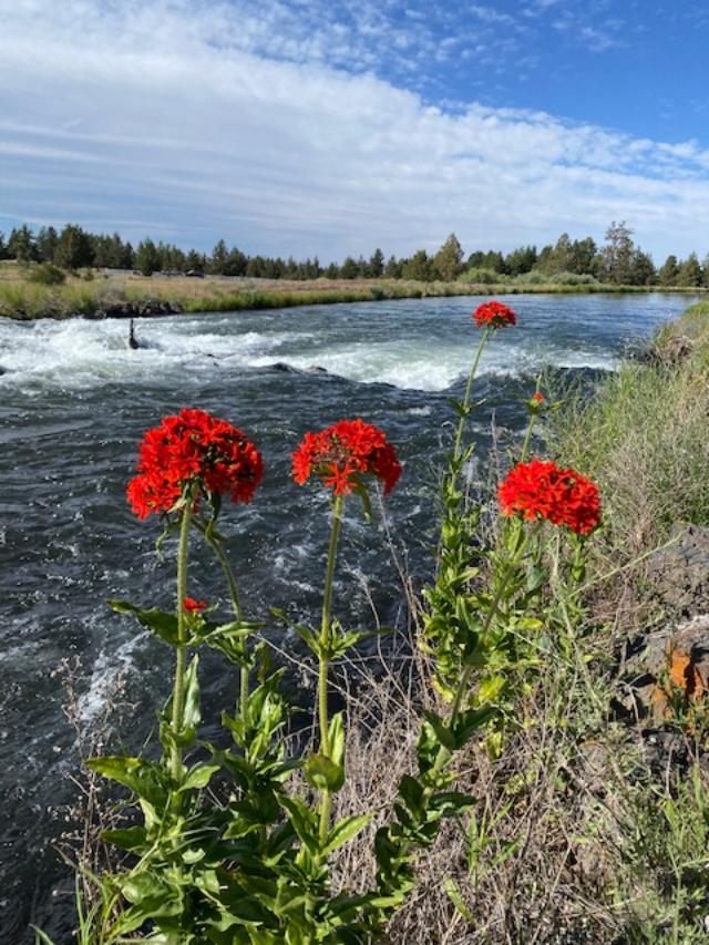
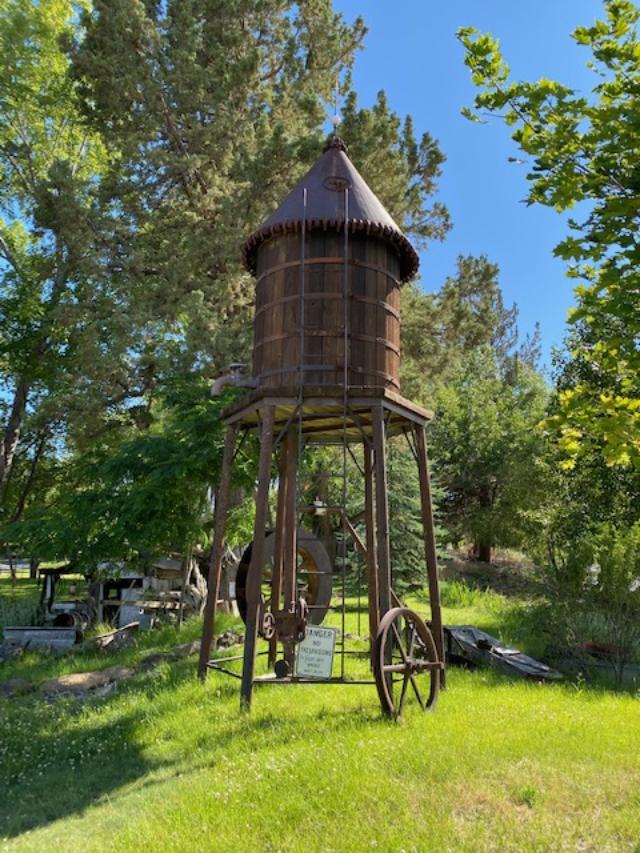
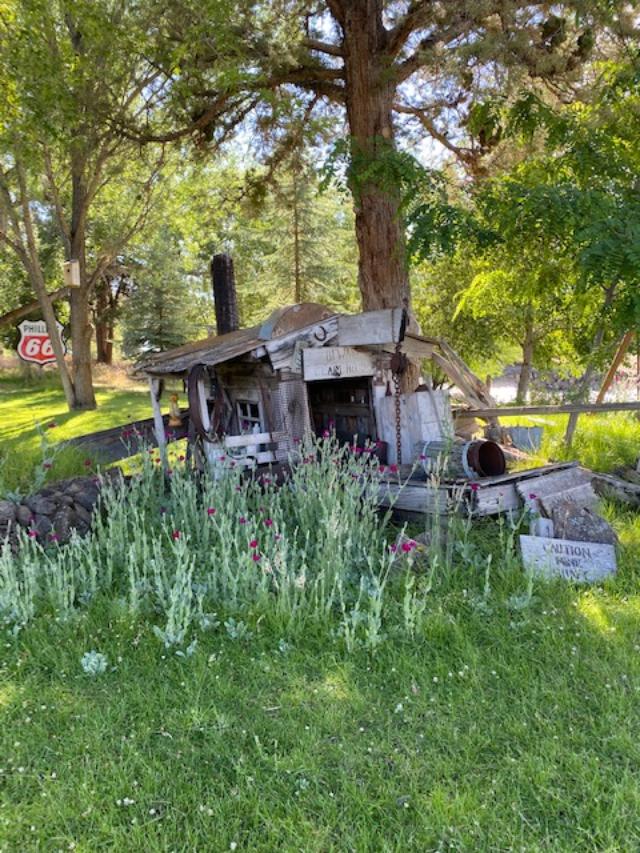
On the private property side stunning flowers punctuated the waterway. We found ourselves in a lovely spot with plantings and artifacts from days long gone by.

Rose campions punctuating the waterway
Historic water tower
Remnants of ancient mining operation & Phillips 66 sign

Those lovelies all created a joyous day with friends Buzz, Judy, and Greg. We love animals, we’re adventurers who explore, who share knowledge and skills. Moreover sites nearby and previously unknown are beautiful, interesting, and inviting more and closer-looks here on Bend’s east side.

Dear Friends: I see now how to define path and points, to map “Diana’s Route” at Horse Butte. Diana

Loop Elderberry

Wild Blue Elderberry, a unique sight at Horse Butte

Saturday, July 11, 2020

I rode in the Horse Butte National Forest with my friend, Judy, who was on Sunni. (Unfortunately, our ride photos are in my camera, still in the horse trailer. I’ve too little time to retrieve and download before publishing today’s notes. So, Judy, with apologies for this oversight, I’ll publish pictures today on FB.)

Our goal was to ride that entire loop I’ve been trying to create. It’s designed to start at the trailhead and take a horseback rider to four specific Forest locations, and then loop back to the starting point. I wanted my design to have horses traveling more on forest trails than on roadways.

Easily, Judy and I found The Greenery before traveling on toward the Campground. There we found ourselves lost among many surrounding rock outcroppings. From the Campground, there’s a foot- or horse-trail, with very faint beginnings, that my horses have found and walked over. Both horses kindly obeyed Judy and me, they moved us into nooks and crannies that we hoped wouldn’t dead-end. Nowhere did our explorations reveal the desired trail. Finally, after simply stumbling onto that pathway, we cheered. We then continued toward our next destinations, finding them without trouble.

I left Horse Butte confused by not understanding a direct route from Greenery to Campground Trail. Other than Judy, the person to best understand my dilemma was Susie, who’d ridden over my loop. I texted and Susie later responded by riding to my home on her bike, bringing several mapped versions of Horse Butte. One map of her own creation showed the loop we’d ridden.

In navigating, I rely on eyesight and memory. Neither are terrific which is why my loop confuses. Moreover, it takes courage and patience to teach me technologies that I’ve already had difficulty comprehending, but kudos to Susie. She was undeterred by my resistance to maps and compasses, and long story short, after her determined tutorial, we downloaded area maps to my iPhone. Now, I’ve a sense of how to use them along with the phone’s compass.

Soon, armed with technology, I’ll return to Horse Butte and finish designing my horseback loop.

Dear Friends: Often, as in this case, progressing may be reliant on community efforts. Diana

On The Trail Again

Friday, July 10, 2020

My neighbor and friend, Susie, and I rode horseback in Bend’s Horse Butte Wilderness. We were intending to map a trail I’ve been attempting to define. This route would be circular and have two purposes. First, to take a rider through lovely areas while avoiding roadways much as possible, and ideally, loop back around to the trailhead. Second, allow for traveling from three-to-five miles depending on a rider’s available time. Susie and I tested the horsey-looking trails that would take us to the target destinations and minimize needs for horsebacking on roads.

Finally, we spent too long in our saddles and on dismounting suffered the consequences. Susie hadn’t ridden in many years and nonetheless looked very balanced in her saddle. She and Sunni got along well and over a variety of terrains. Always, we were very careful to keep Pimmy in mind and have her within our views.

That ride was long, but fun and productive. Today, I’m going to ride with another friend, Judy, and together we’ll re-test the loop. This time, we’ll check the ease of traveling over it and determine the amount of time needed to complete our ride. Meanwhile, Susie is creating a visual map of the loop from coordinates she captured in real time.

Yesterday, I handled only a single horse and that made my ride relatively hands-free. This allowed such flexibility that Susie and I could go off-trail to explore some of the area’s more complicated-looking terrains. Throughout all that we asked of our horses, both of them were wonderful. And happily, Pimmy tracked with us the entire way.

Susie, warming up on Sunni, with Miles
At “The Greenery”, with Pimmy
On the ground again
More, on the ground again

Dear Friends: It’s wonderful, the Horse Butte National Forest isn’t far from my barn. Diana